
Anterselva
The Anterselva Valley is a side valley of the Puster Valley and is 18 km long. The valley extends into the Vedrette di Ries-Aurina Nature Park and is surrounded by over 3000 m high mountain summits like Collalto and Collastro.
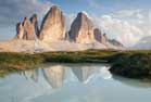
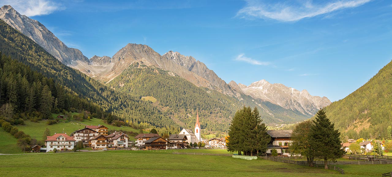
At the entry to the valley not far from Brunico you reach the first village Rasun-Anterselva with the hamlets Rasun di Sotto, Rasun di Sopra and Nove Case. When you follow the road through the enchanting villages of Anterselva di Sotto, Anterselva di Mezzo and Anterselva di Sopra, at the end of the valley you get to Anterselva Lake, located amidst dark green forests and impressive mountain peaks. Once past the lake you get closer to Passo Stalle, the natural border between Italy and Austria.
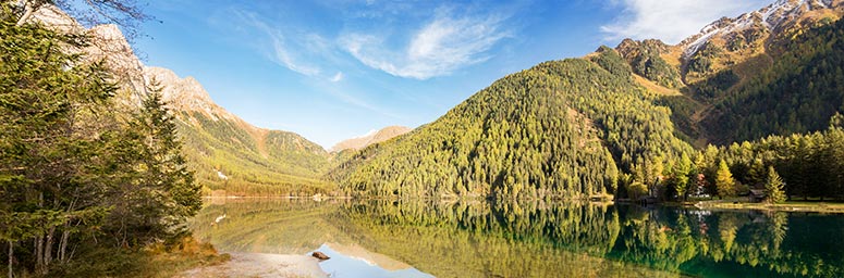
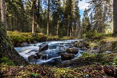
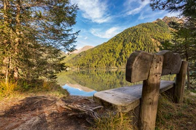
Anterselva Lake is located at an altitude of 1642 m above sea level. The lake is 38 m deep and covers an area of 44 hectares. With these dimensions Anterselva Lake is the third-biggest lake in South Tyrol. The development of the lake goes back to the damming of the Anterselva River due to rocks and rubble forming a dam after a mud slide. Since 2003 you can hike around Anterselva Lake on an educational path. The round tour of the lake takes about 1.5 hours and provides an insight into the flora and fauna at the lake.