
-cropped.jpg)

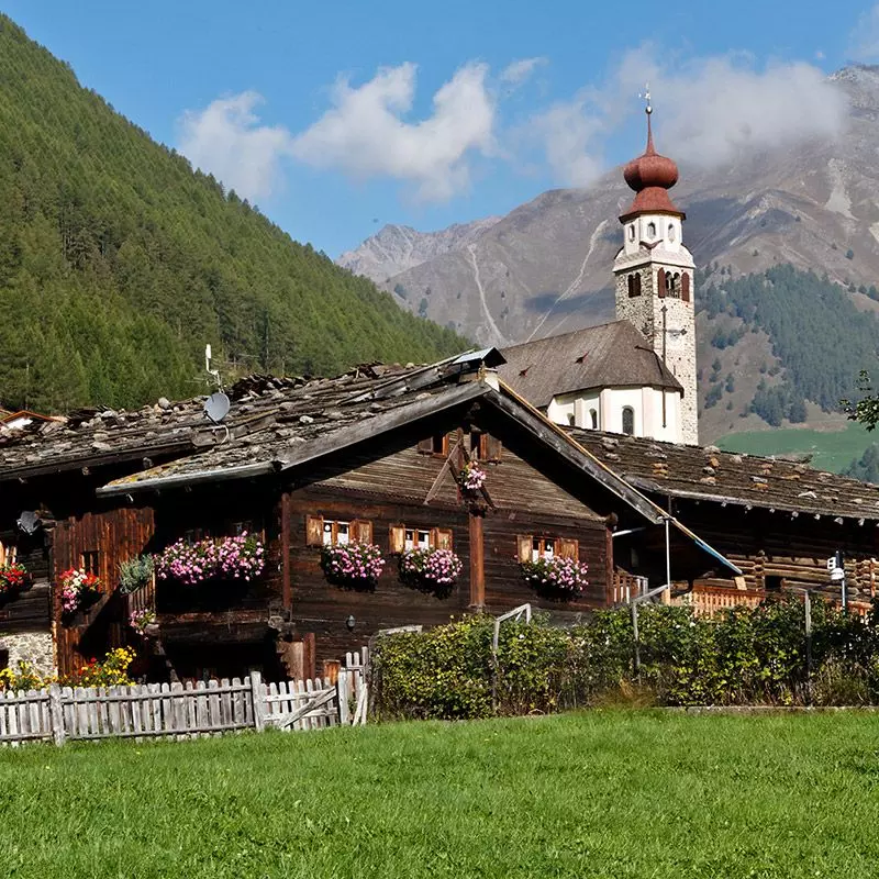
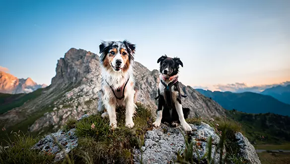
Un piccolo rifugio familiare dal grande fascino: qui vi aspettano relax a contatto con la natura, ospitalità calorosa e tante attività – perfetto per coppie, famiglie e viaggiatori attivi.
Vivi le tue vacanze
in Alto Adige
Cerchi natura, emozioni autentiche e paesaggi incantevoli? Sei nel posto giusto.
Su sudtirol.com trovi tutto, per vivere questo angolo di paradiso alpino come vuoi tu: mete iconiche, chicche nascoste e hotel selezionati con cura. Parti da qui.


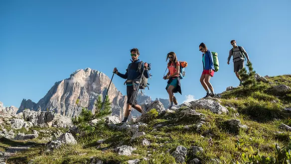
Südtirol su due ruote
Panorami mozzafiato e sentieri
da vivere in libertà in sella alla tua bici

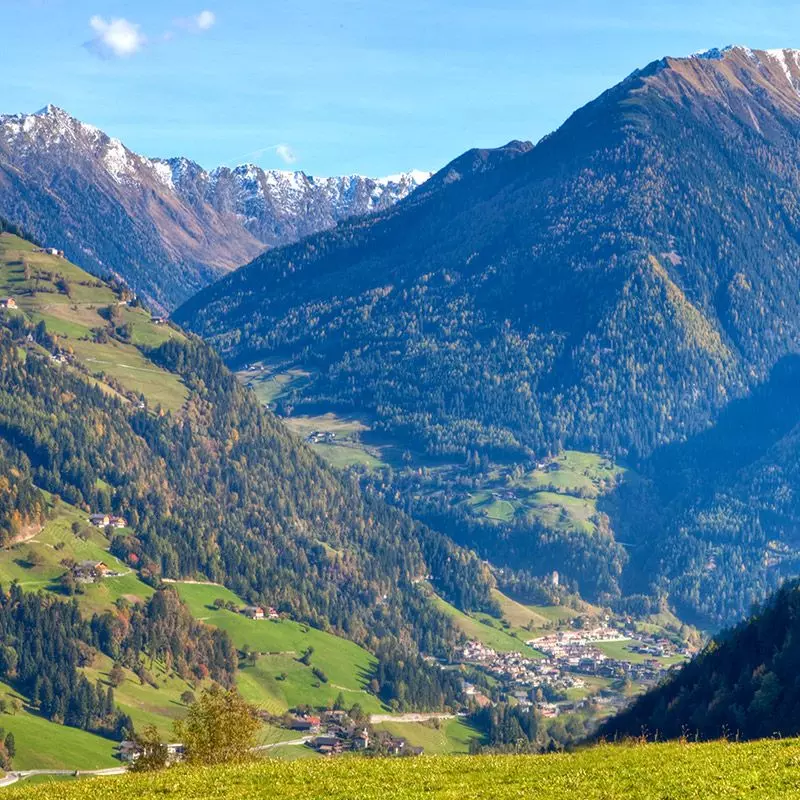
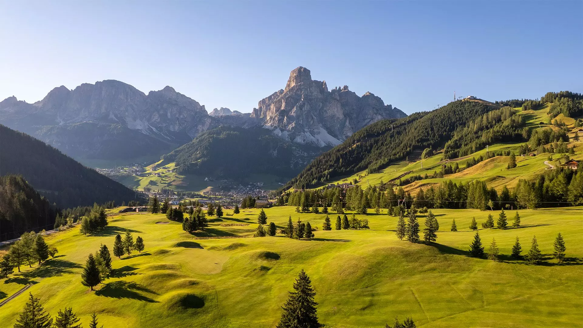
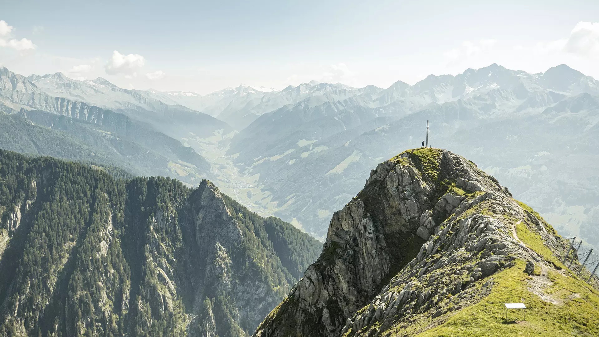
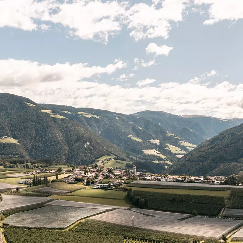
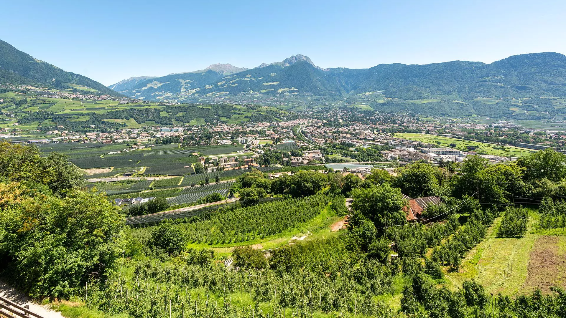
Il territorio
dell’Alto Adige
Montagne, vallate, vigneti e borghi da sogno: l’Alto Adige è un mosaico di paesaggi unici. Esplora le sue valli, scopri la varietà del territorio e lasciati ispirare.
Val Senales
Patria di Ötzi, tra ghiacciai eterni e silenzi carichi di storia.
Val Passiria
Tradizione tirolese, sentieri verdi e cascate impetuose.
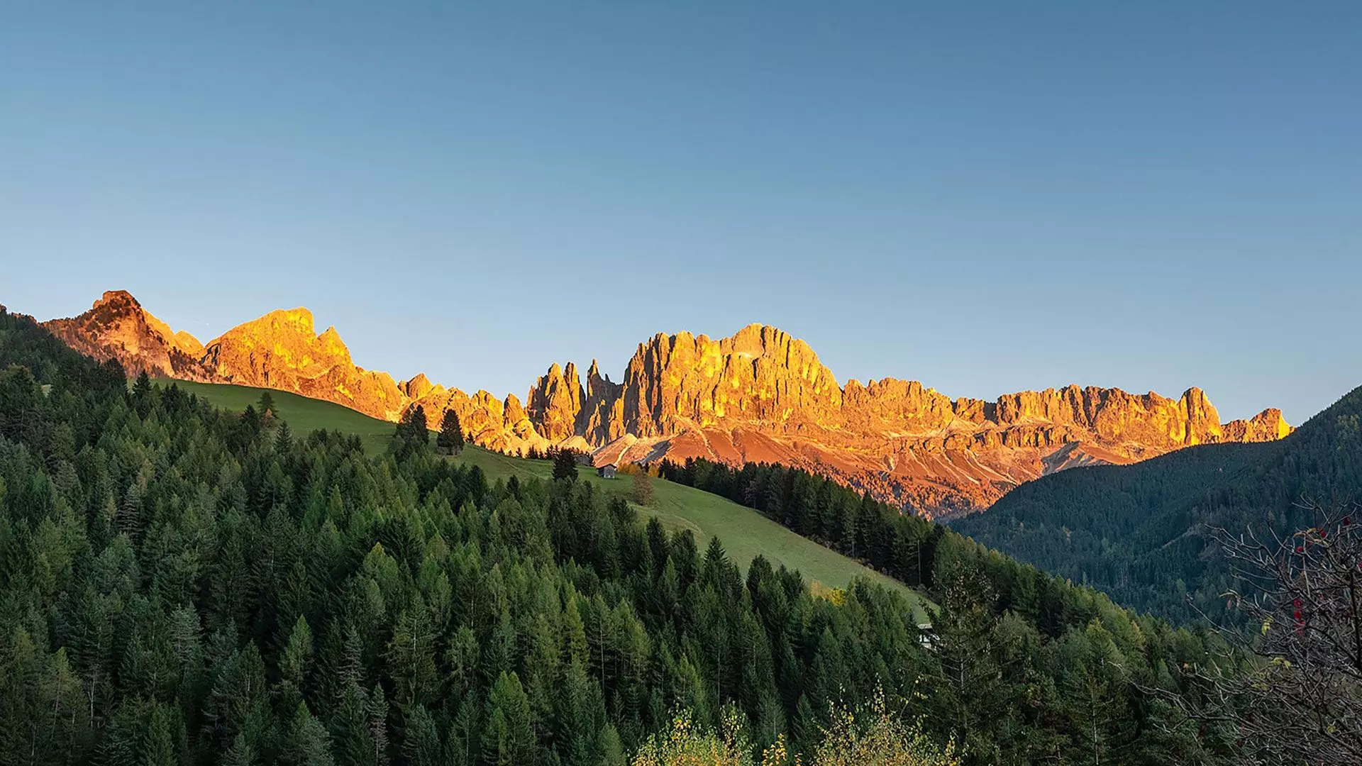
Catinaccio Latemar
Il Latemar veglia su boschi e laghi di smeraldo.

Oltradige e Bassa Atesina
Profumi e colori in un clima mite: una primavera perenne.
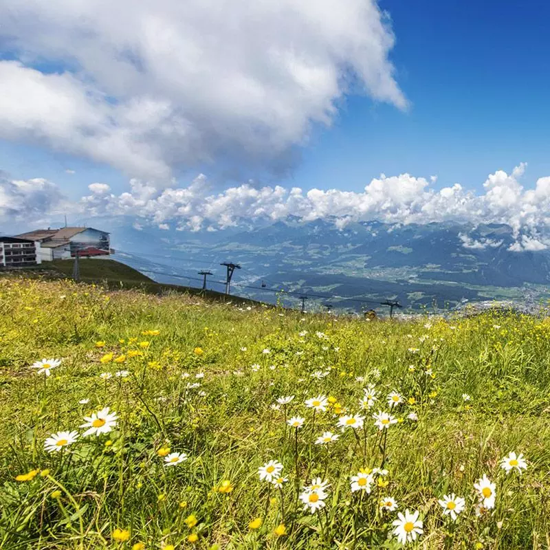
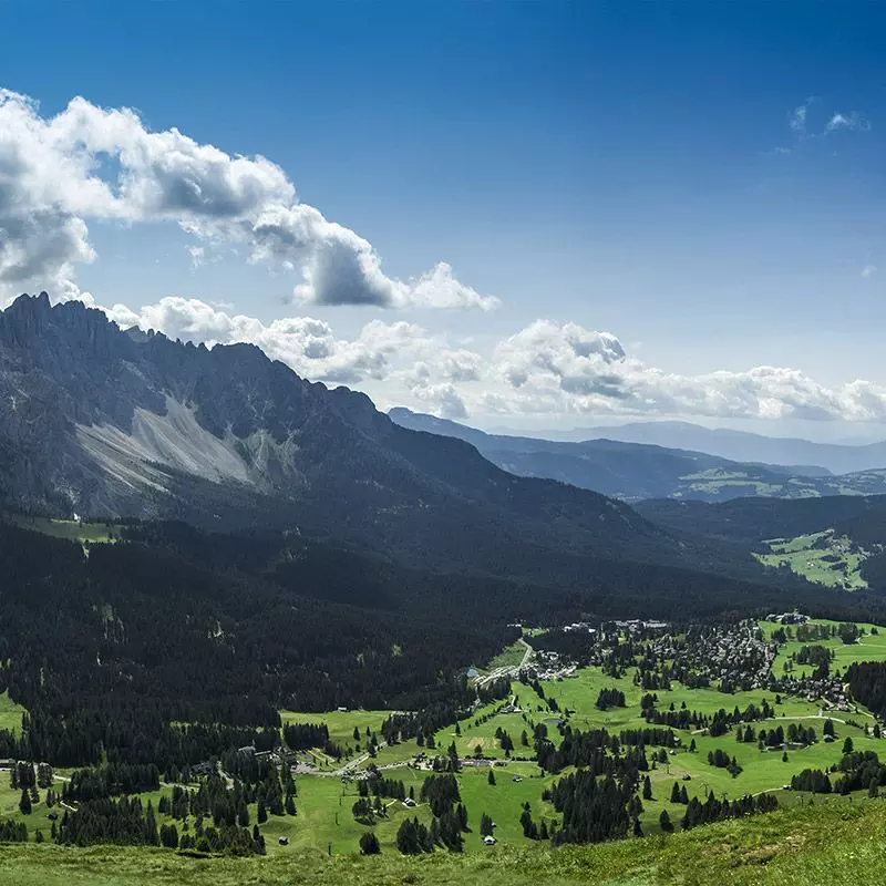
Plan de Corones
Musei in quota, percorsi in bici e viste mozzafiato.
Val Badia
Cuore ladino tra Dolomiti e tradizioni sincere.

Val Sarentino
Un angolo autentico dove l'artigianato tradizionale prospera.
Val Gardena
Sculture in legno, piste leggendarie e panorami verticali.
Val Venosta
Terra di meleti in fiore, antichi castelli e il suggestivo Monte Sole.
Alpe di Siusi
Vaste praterie, baite accoglienti e tramonti spettacolari.
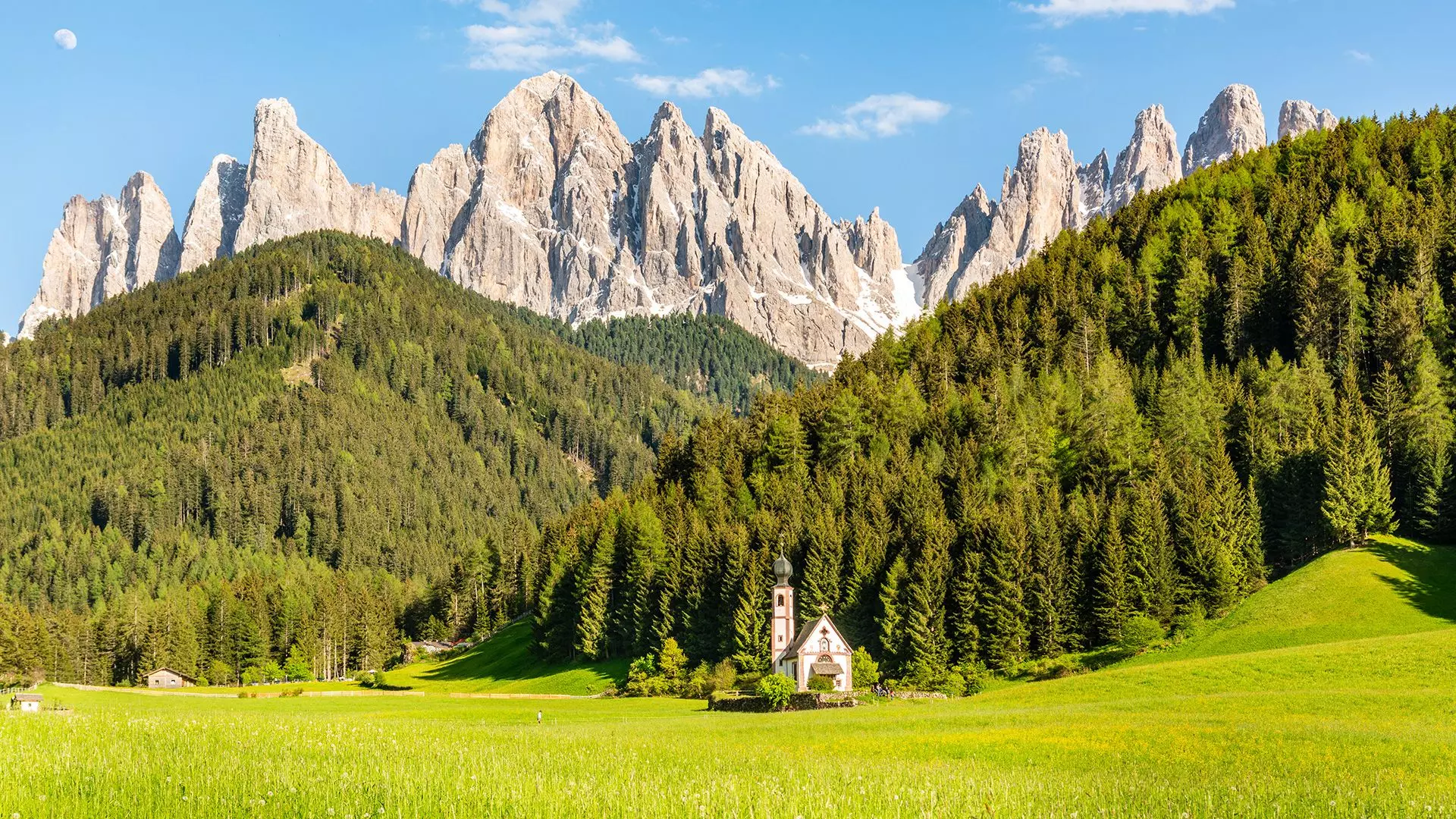
Val di Funes
La chiesetta più fotografata e silenzi che emozionano.
Val d'Ega
Il Latemar veglia su boschi e laghi di smeraldo.
Val Tures Aurina
Avventure tra canyon, miniere e sentieri alpini.

Val Pusteria
Profumo di boschi, malghe e laghi da cartolina.
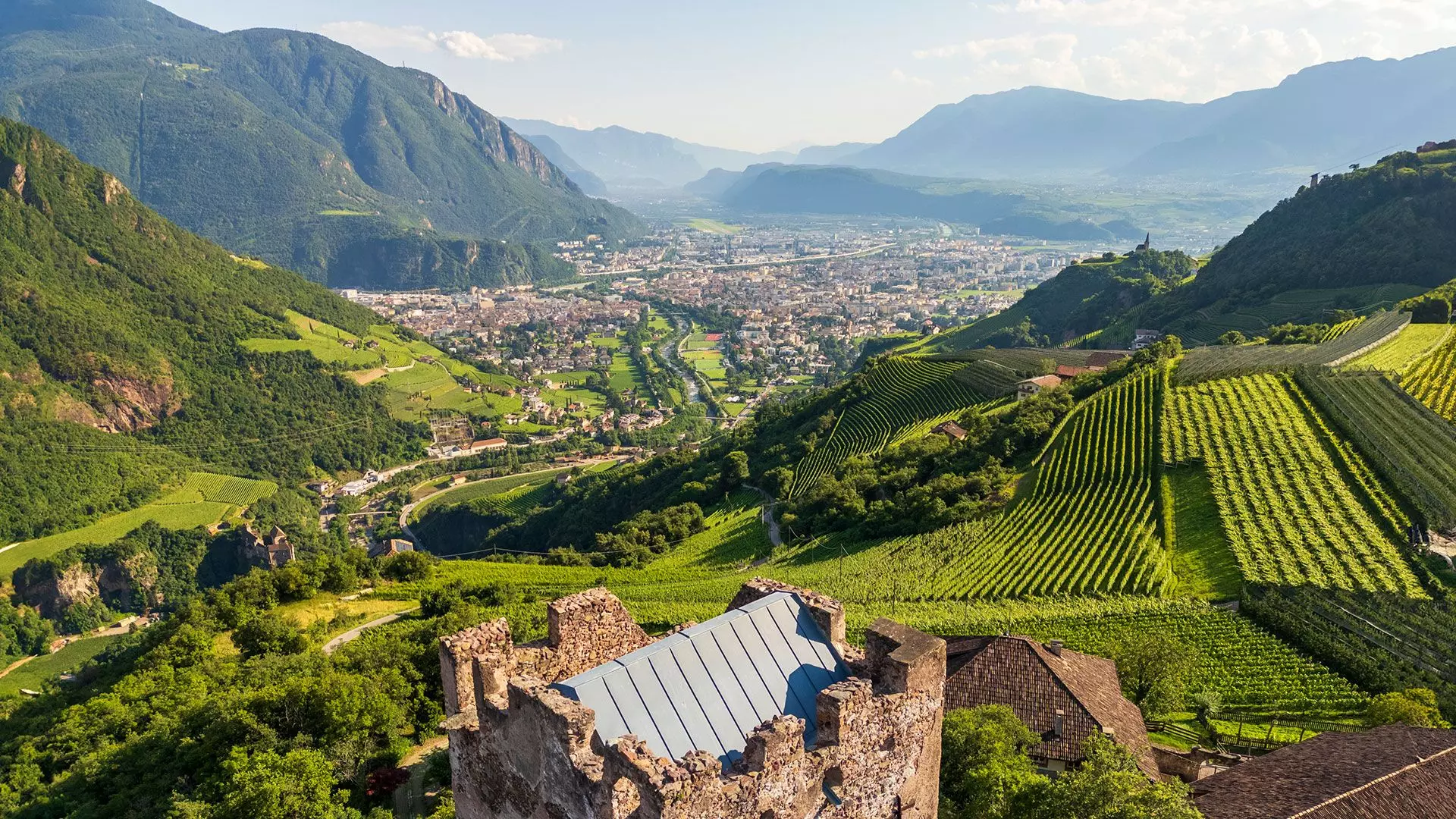
Bolzano e dintorni
Città vivace tra musei, enoteche e scorci storici.

Val d'Ultimo
Larici secolari, borghi in legno e un ritmo lento che rigenera.
Valle Isarco
Castagne, abbazie e sentieri tra vigneti e borghi medievali.
Merano e dintorni
Palme, terme e passeggiate tra ville liberty e vigneti.
I migliori hotel in Alto Adige
Hotel accoglienti, immersi nella natura e selezionati con cura: scopri dove dormire bene in Alto Adige, tra paesi caratteristici e panorami indimenticabili.


Scegli la tua prossima vacanza
Qual è il tuo modo di vivere l’Alto Adige?
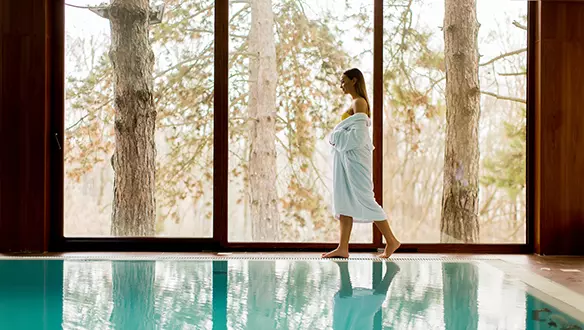

Tipo di alloggio
Scegli l’alloggio che fa per te: hotel di charme, agriturismi, SPA con vista o rifugi romantici. Da soluzioni pet-friendly a offerte last minute, il tuo angolo di benessere ti aspetta.


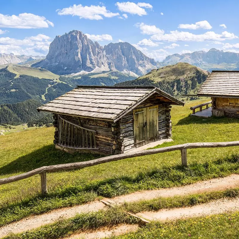
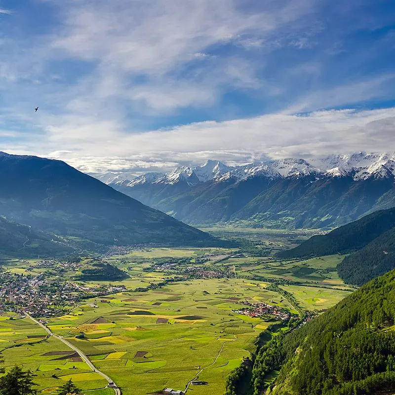
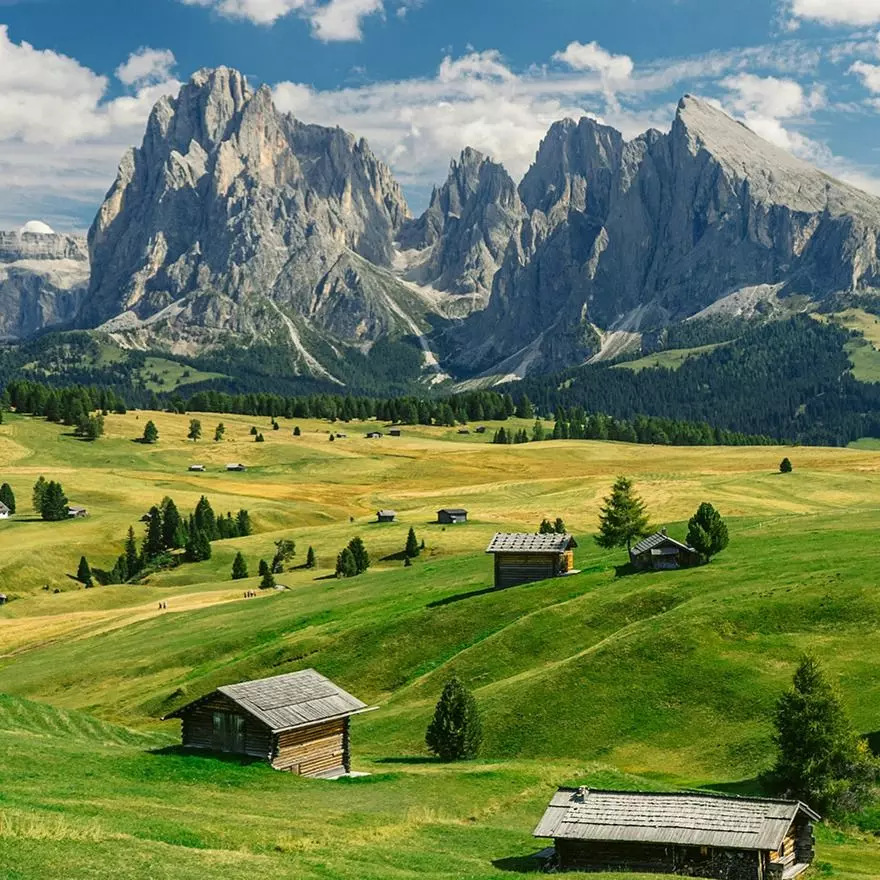
Le valli da non perdere
Immagina. Camminare sulla neve e sprofondare un po’ ad ogni passo, sentire solo il crepitio della neve sotto gli scarponi e nient’altro. La natura di questi posti offre inoltre tracciati per sci alpinismo, emozionanti ciaspolate e arrampicate su ghiaccio.
Plan de Corones
Val Sarentino
Suggestiva, affascinante
Luoghi da vedere:
Alpi Sarentine, Passo Pennes, artigianato dei “Sarner”
Val Senales
Val d'Ultimo
Incontaminata, rilassante
Luoghi da vedere:
Lago di Fontana Bianca, Centro visitatori Lahnersäge
Merano e dintorni
Catinaccio Latemar
Bolzano e dintorni
Multiculturale, elegante
Luoghi da vedere:
Museo Archeologico dell'Alto Adige, Mercato delle Erbe
Val Tures Aurina
Val Gardena
Val di Funes
Suggestiva, autentica
Luoghi da vedere:
Chiesa di San Giovanni in Ranui, gruppo delle Odle
Alpe di Siusi
Oltradige e Bassa Atesina
Valle Isarco
Val d'Ega
Val Passiria
Val Badia
Val Pusteria
Val Venosta
Dal nostro blog
Storie vere, consigli di viaggio, eventi, itinerari e curiosità per vivere l’Alto Adige tutto l’anno.

Eventi in Alto Adige
Tradizioni alpine, musica tra le vette, mercatini, sapori locali: gli eventi dell’Alto Adige raccontano il territorio attraverso ogni stagione e ogni valle.


