Dürer Trail: the stages of the route
Walking the Dürer Trail means following the footsteps of the famous artist Albrecht Dürer along a 28.2 km itinerary, blending nature, history, and culture. From the charming Klösterle hospice near the Lagoons of Egna, to the spectacular earth pyramids of Segonzano, this journey offers unique landscapes and extraordinary historical landmarks. The route's division into stages allows you to take the trail at a leisurely pace, enjoying every scenic view and point of interest.
From Klösterle to Pochi di Salorno
The first stage starts from the ancient Klösterle hospice in San Floriano, near the Lagoons of Egna, a Romanesque building from the 13th century, one of the last remnants of the area's historic rest stations for travelers. From here, the route follows trail no. 7, crossing the Roman bridge over the Laukusbach stream. This stone bridge, about 10 meters high, attests to the historical importance of the route known as Semita Karoli. The path then continues through chestnut groves, a legacy of the Romans, until reaching Pochi di Salorno, where you can visit the Garden of Sculptures by artist Sieglinde Tatz-Borgogno.
Distance: 4.4 km – Elevation gain: +400 m – Duration: about 1:40 h
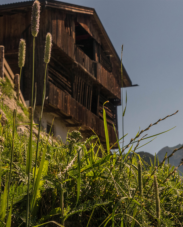
From Pochi di Salorno to Rifugio Sauch
From Pochi di Salorno, continue on trail no. 8 towards Rifugio Sauch, nestled in the forests of the Monte Corno Nature Park. This stretch alternates between pine forests and open meadows, offering splendid views of the Adige Valley. Rifugio Sauch is the ideal stop for a refreshment break before continuing towards Lago Santo.
Distance: 6.3 km – Elevation gain: +450 m – Duration: about 2:20 h
From Rifugio Sauch to Lago Santo
Leaving the refuge, head towards Lago Santo, crossing forests and alpine environments that reach 1,200 meters in altitude. Lago Santo, a small natural gem, offers a relaxing setting, perfect for a rejuvenating stop or a picnic.
Distance: 3 km – Elevation gain: +305 m – Duration: about 1:10 h
From Lago Santo to Cembra
From here, descend towards the village of Cembra, crossing the picturesque landscapes of the Val di Cembra, with panoramic views over vineyards and valleys. Upon arrival, you can visit the historic center and taste local specialties.
Distance: 4 km – Elevation loss: -539 m – Duration: about 1:20 h
From Cembra to Ponte di Cantilaga
From Cembra, the trail gently descends towards the Ponte di Cantilaga, an ancient crossing over the Avisio stream. This stretch offers a pleasant and tranquil walk along the valley.
Distance: 4 km – Elevation loss: -180 m – Duration: about 1:20 h
From Ponte di Cantilaga to Segonzano
The final stage leads to the extraordinary earth pyramids of Segonzano, imposing natural columns shaped by glacial erosion. Here, you can also visit the Segonzano Castle, an ancient fortress that dominates the landscape and tells the story of the area.
Distance: 2-4 km – Elevation gain: +100 m – Duration: about 50 minutes