
Through forests and trails: the best hikes in South Tyrol
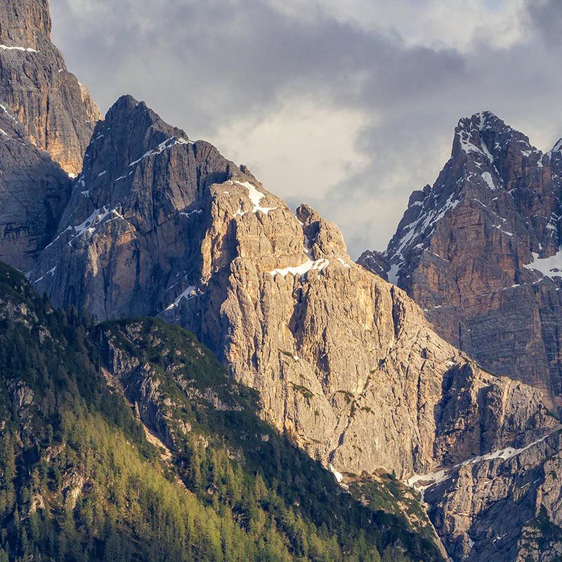
Extraordinary, unique, and majestic — that’s how the natural landscapes of South Tyrol present themselves, ideal for discovering the wonderful Dolomites. Before setting off, remember to check the weather forecast, choose the right equipment, and get ready for an unforgettable adventure through scenery of rare beauty.
On this page, you’ll find a first selection of trails designed to inspire you — but if you love hiking, don’t miss the detailed guides to the most fascinating routes in the region.
High-altitude hikes
Starting with trekking, South Tyrol offers routes with different elevation levels, where effort, contact with nature, and awe are the main ingredients.
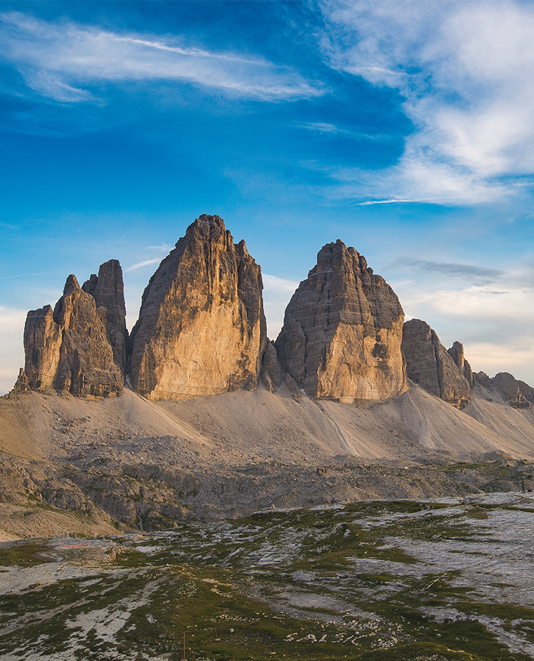
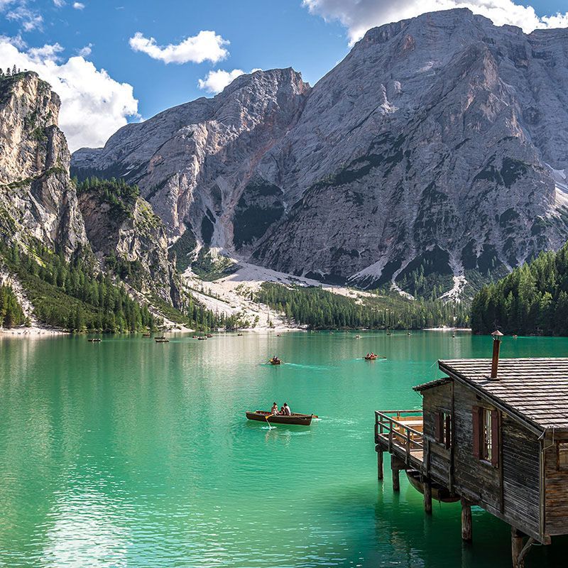
Hike around the Three Peaks of Lavaredo
- Starting point: Monte Santa Cristina, Naturno, Plan, Ulfas, Muta Alta, Leiter Alm, Giggelberg
- Duration: 33 h
- Route length: 94 km
- Altitude: 2,895 m
- Elevation gain: 5,056 m
- Difficulty level: medium
The Merano High Mountain Trail is one of the most scenic routes in the entire Alpine arc. Marked with the number 24, the complete trail can be tackled in 4–6 days between June and September, when the conditions are ideal.
The route is made easier thanks to the presence of steps, both natural and artificial, as well as chains, ropes, and safety railings at the most exposed points.
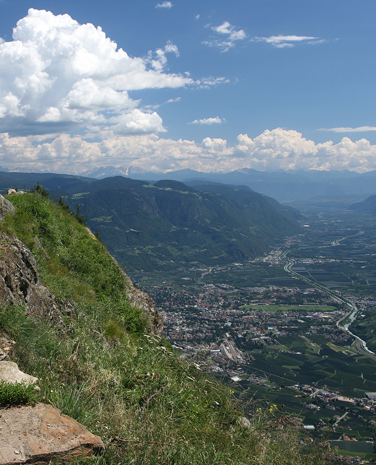
This panoramic trekking route offers spectacular views of some of South Tyrol’s most beautiful valleys and peaks — from Val Venosta to Val Passiria, passing through the Sarentino Alps with a privileged view of the city of Merano.
South Tyrol Trekking: Merano High Mountain Trail
- Starting point: Monte Santa Cristina, Naturno, Plan, Ulfas, Muta Alta, Leiter Alm, Giggelberg
- Duration: 33 h
- Route length: 94 km
- Altitude: 2,895 m
- Elevation gain: 5,056 m
- Difficulty level: medium
The Merano High Mountain Trail is one of the most spectacular hiking routes in the entire Alpine range. Marked with number 24, the full trail can be completed in 4–6 days between June and September, when conditions are perfect.
The path is made more accessible by natural and artificial steps, as well as chains, ropes, and safety railings along the more exposed sections.
This panoramic trail rewards hikers with breathtaking views over some of South Tyrol’s most beautiful valleys and peaks — from Val Venosta to Val Passiria, through the Sarentino Alps, with a privileged view of Merano.

Odle Trail – Adolf Munkel Path
- Starting point: Zannes Alm
- Duration: 5 h
- Altitude: 2,000 m
- Elevation gain: 300 m
- Difficulty level: easy
The Adolf Munkel Trail is one of the most fascinating routes in the Dolomites, unfolding at the foot of the spectacular northern walls of the Odle peaks.
Starting from Zannes Alm, the trail follows the course of the Ciancenon stream, immersed in an extraordinary natural setting. Along the way, hikers pass through landscapes rich in biodiversity, with dwarf shrubs, alpine pastures, and dense forested areas reminiscent of the Black Forest.
During the hike, you reach the area known as the Großgrube (Great Hollow), one of the most scenic viewpoints along the route. The trail also offers the opportunity to stop at Casnago Alm, perfect for recharging with local specialties while enjoying the panorama.