

The best cycling routes in South Tyrol:
scenic bike paths and MTB trails
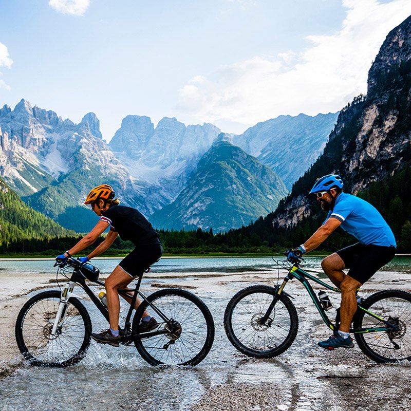
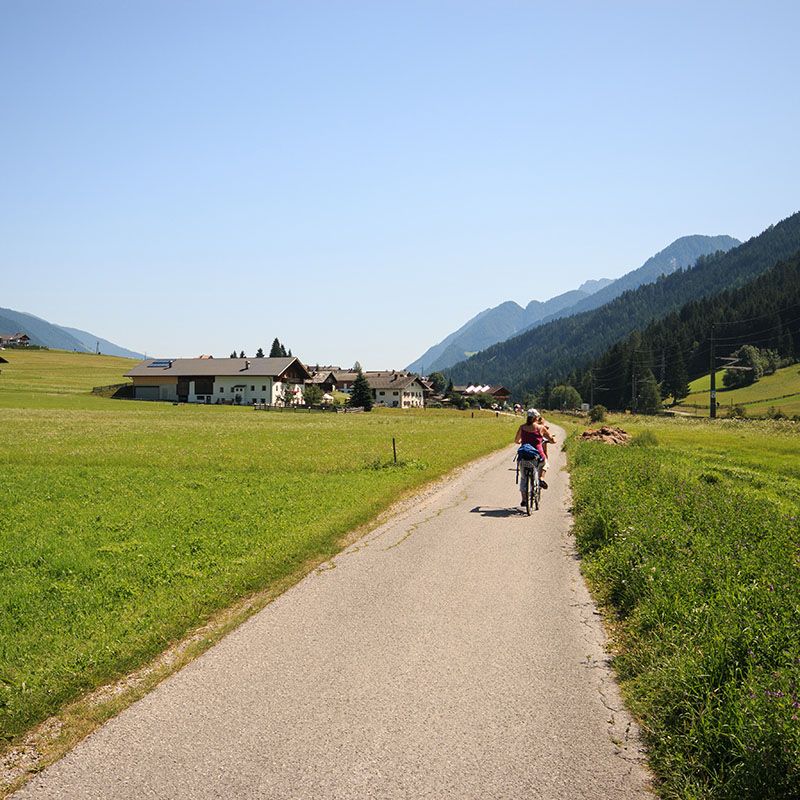
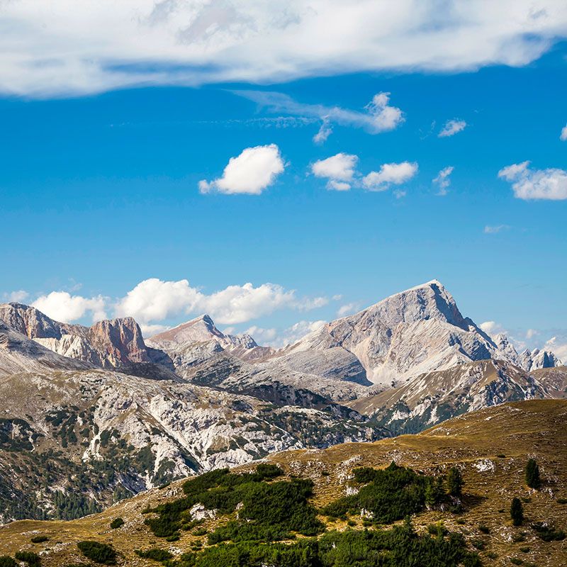
For those who love discovering South Tyrol by pedaling through breathtaking landscapes, the possibilities are truly endless. From easy family-friendly bike paths to technical trails for expert cyclists, here are some suggestions to plan your next two-wheeled adventure.
San Candido – Lienz Cycle Path
- Starting point: Alta Pusteria (San Candido, Dobbiaco, or Villabassa)
- Duration: 3 h
- Length: 44 km
- Elevation change: approx. 500 m
- Difficulty level: easy
An iconic route leading from South Tyrol to Austria, with a gentle downhill gradient — ideal for families and children. The return journey can easily be made by train, thanks to carriages equipped for bike transport.
Val Venosta Cycle Path:
From Silandro to Merano
- Starting point: Silandro
- Duration: 2 h
- Length: 37 km
- Elevation change: gentle descent
- Difficulty level: easy
This route winds through orchards and picturesque villages, passing Morter, Laces, Castelbello, and Naturno. Following the Adige River, it continues toward Plaus and Rablà before reaching the urban bike network of Merano. A relaxing itinerary full of charming views and local culture.
Brennero – Bolzano Cycle Path
- Starting point: Brennero or Bolzano
- Duration: approx. 5–6 h
- Length: 102 km
- Elevation change: gradual descent from Brennero to Bolzano
- Difficulty level: medium
One of the most scenic cycle routes, part of the international Munich–Verona trail. The route crosses the heart of South Tyrol and can be divided into two stages: Brennero–Fortezza and Fortezza–Bolzano.
Freeride Plan de Corones
- Starting point: Riscone – Plan de Corones valley station
- Duration: approx. 30 minutes
- Length: 6.5 km
- Elevation change: 1,120 m
- Difficulty level: medium
A track dedicated to expert riders, running along the Herrnsteig Freeride Trail. With tight turns, natural obstacles, jumps, and steep gradients, it guarantees fun and spectacular views over the Puster Valley.
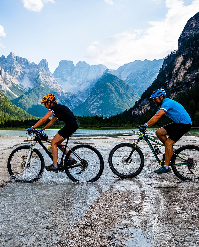
Dobbiaco – Cortina Cycle Path
- Starting point: Dobbiaco
- Duration: 2:30 h
- Length: 35 km
- Elevation change: 300 m
- Difficulty level: easy
A bike path immersed in the heart of the Dolomites. Starting from Dobbiaco, it passes by Lake Dobbiaco and Lake Landro, reaching Cimabanche Pass before gently descending toward Cortina d’Ampezzo.
Stoneman Trail
- Starting point: Sesto
- Duration: 10:30 h (can be divided into 3 days)
- Length: 120 km
- Elevation change: 4,000 m
- Difficulty level: difficult
Created by professional biker Roland Stauder, this MTB trail is one of the most famous in the Dolomites. A circular route crossing spectacular landscapes between Dobbiaco and San Candido, dedicated to highly trained cyclists.
Adige Cycle Path – Via Claudia Augusta
- Starting point: Resia
- Duration: 1–2 days (full tour)
- Length: 80 km
- Elevation change: constant descent
- Difficulty level: easy
One of the most fascinating bike paths, following the ancient Roman road Via Claudia Augusta through woods, orchards, and small villages — perfect for those who want to combine nature and culture.
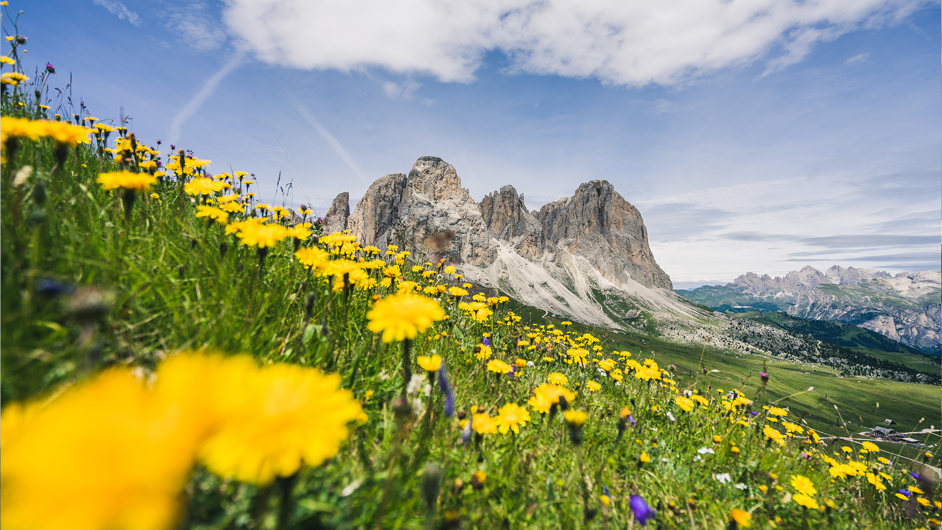
Sella Pass – City of Stones
- Starting point: Selva
- Duration: 2 h
- Length: 18 km
- Elevation change: 805 m
- Difficulty level: medium
A challenging route climbing up to Sella Pass, offering spectacular views of the Sassolungo, Marmolada, and Sella Group, passing through the “City of Stones” area and reaching the Comici mountain hut.
Sellaronda MTB Tour
- Starting point: Selva
- Duration: 5:30 h
- Length: 55 km
- Elevation change: 1,283 m
- Difficulty level: difficult
The complete tour around the Sella Group — famous among skiers in winter — becomes a spectacular MTB loop in summer, using ski lifts and crossing the Dolomite passes of Sella, Pordoi, Gardena, and Campolongo.
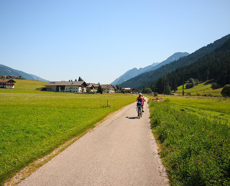
Alta Pusteria – Brunico Cycle Path
- Starting point: Alta Pusteria (San Candido, Dobbiaco, or Villabassa)
- Duration: 3 h
- Length: 35 km
- Elevation change: 400 m
- Difficulty level: medium
A peaceful yet varied route passing through small villages and stretches immersed in the nature of Val Pusteria. Some short climbs and descents make it interesting even for trained cyclists. Easy return by train.
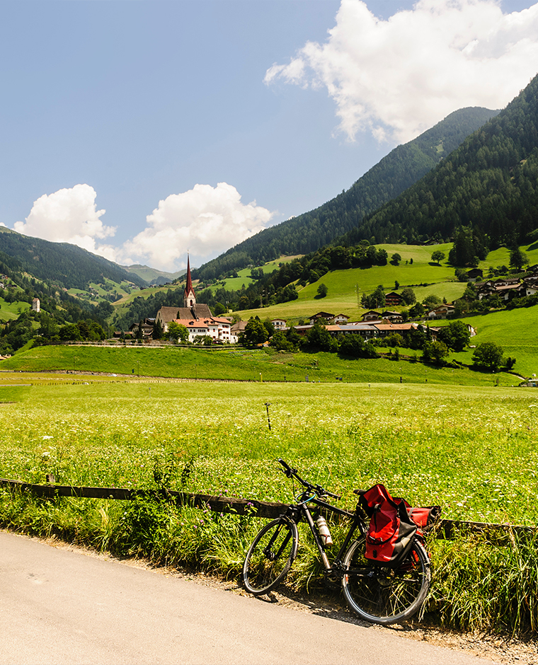
Val Passiria Cycle Path
- Starting point: San Leonardo in Passiria
- Duration: 45 minutes
- Length: 19 km
- Elevation change: 370 m
- Difficulty level: easy
The Val Passiria cycle path follows the Passirio River along an unpaved but well-maintained track, perfect for a relaxing ride surrounded by nature.
Starting from San Leonardo in Passiria, it continues toward Sandhof Farm, the historic home of Andreas Hofer, and reaches the wooden bridge near the San Martino sports area. From here, the trail passes alongside the Quellenhof golf course and continues to the village of Saltusio, where it connects with the cable car to Monte Cervina.
The path continues through Rifiano, following the characteristic Waale — the valley’s ancient irrigation channels — before reaching Merano through the Passiria Gate, where it connects to the city’s famous promenades.