
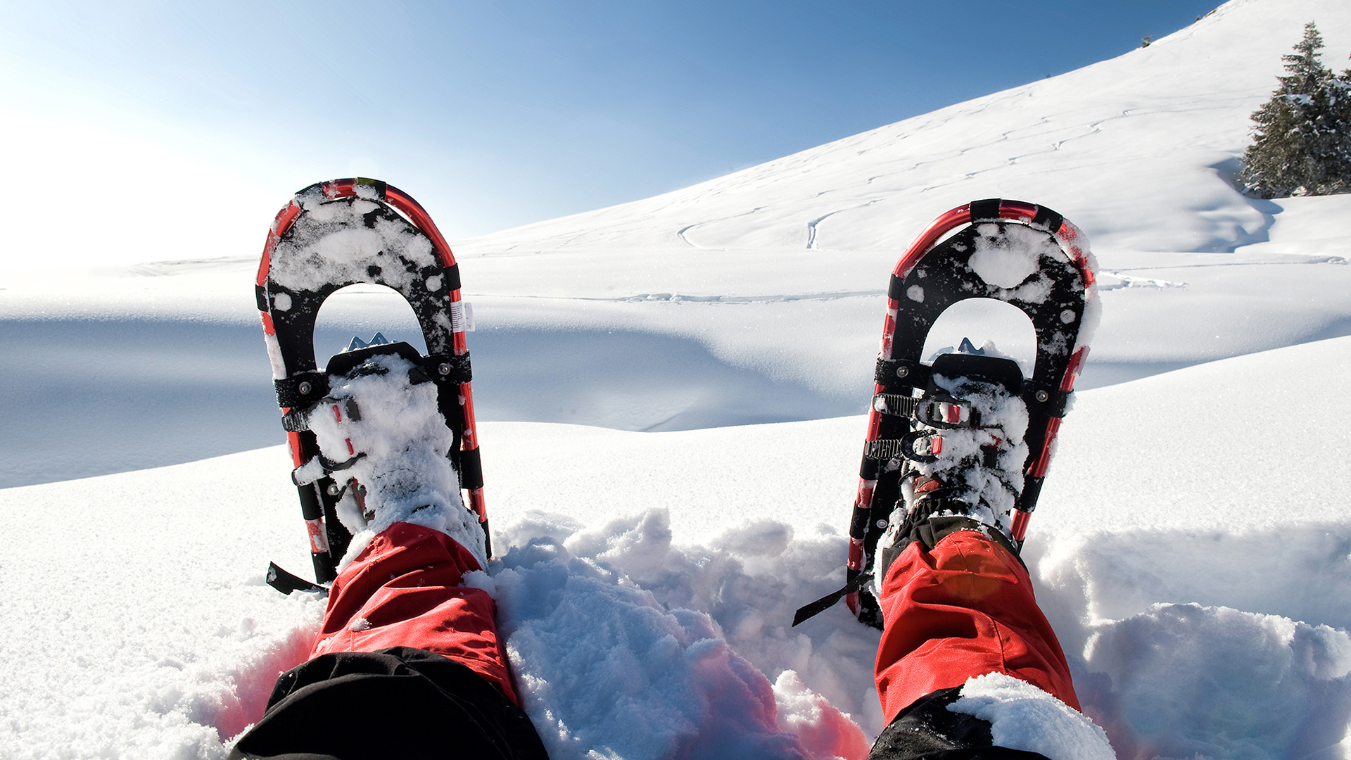
Snowshoeing in South Tyrol: Discover Breathtaking Landscapes
The mountains transform in winter into a fairytale world made of silent trails and snow-covered forests. For lovers of exploration, snowshoeing in South Tyrol is the perfect activity. Just like other disciplines, there are various difficulty levels available, depending on each person’s needs and abilities.
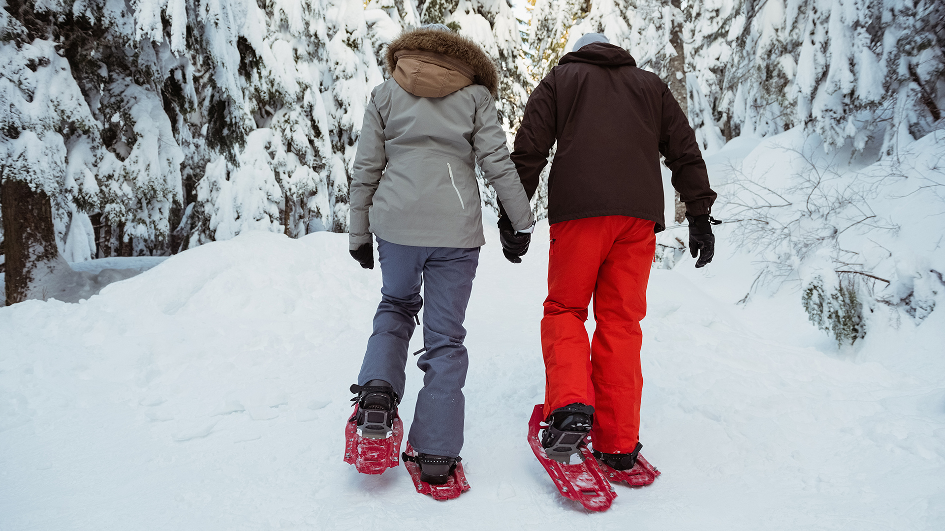
Often, the most scenic areas are not accessible without the proper equipment: wearing snowshoes means venturing into areas that are usually inaccessible, where nature seems to want to be alone with itself.
Let yourself be surprised by the best trails to discover the hidden beauty of the region!
Snowshoeing in Peace in South Tyrol: Easy Trails for Everyone
Snowshoeing on the Hunter’s Trail – Altipiano Cherz, Alta Badia
- Length: 6.7 km
- Duration: 2:40 h
- Elevation gain: 291 m
- Difficulty: Easy
Learn more
This snowshoeing trail offers a truly unique landscape: from the Cherz Plateau, you can enjoy spectacular 360° views of the Dolomites, with a privileged view of the Marmolada glacier that makes the excursion even more memorable.
The route begins with a short ascent of about 100 meters, the only slightly challenging section, but easily overcome with a relaxed pace. After that, the trail continues without particular difficulties, leaving room for a fairytale landscape.
Walking through the snow-covered forest and across the white meadows of Forceles is an exciting experience, culminating with a panoramic view of the Cherz Plateau, where nature truly shows its best.
Snowshoeing Towards Pra da Rì – Vallunga
- Length: 8 km
- Duration: 3 h
- Elevation gain: 300 m
- Difficulty: Easy
Learn more
A trail suitable for everyone, perfect even for families with children, as long as the usual precautions are taken and the individual’s fitness level is considered. The route follows the same path both ways, allowing you to adjust the duration based on the group’s energy and conditions.
The magic of this hike starts right away, with the picturesque Chiesetta di San Silvestro, where it’s worth stopping to admire the frescoes that decorate the interior.
From here, a gentle ascent begins, leading through silent forests and panoramic views, reaching Pra da Rì after about 3.5 km, a large meadow framed by the majestic Dolomites, which takes your breath away in any season.
Once at the meadow, the trail reaches its most scenic point before heading back along the same trail, completing a simple but truly memorable excursion.
Panoramic Snowshoeing Towards Malga Roia – Val Venosta
- Length: 3.5 km
- Duration: 2 h
- Elevation gain: 240 m
- Difficulty: Easy
Learn more
This snowshoeing trail is ideal for those who wish to immerse themselves in the snowy nature, with a view extending to the Austrian border, and the promise of a tasty stop at the malga, where you can enjoy typical South Tyrolean dishes.
The recommended route starts at the Val di Roia parking lot and follows a trail through silent woods and wide snow-covered meadows, reaching Malga Roia after about 2 hours of walking.
The trail does not include particularly challenging climbs, but the distance and constant ups and downs may be a bit tiring, especially if traveling with children. However, nothing insurmountable, especially with the right amount of energy and adventure spirit!
Moreover, the return can turn into a moment of pure fun with the possibility of sledding. In this case, it’s important to note that the malga does not offer sled rental, so it will be necessary to bring your own from the start.
Easy Snowshoeing from San Genesio to Malga Langfenn – Bolzano and Surroundings
- Length: 12 km
- Duration: 3:20 h
- Elevation gain: 240 m
- Difficulty: Easy
Learn more
A pleasant snowshoe hike just a few kilometers from Bolzano, perfect for those who want to immerse themselves in nature’s peace without straying too far from the city. The hike starts from San Genesio, crossing the enchanting landscape of the Altopiano del Salto until reaching Malga Langfenn.
Despite the length of the trail, the path doesn’t feature particularly challenging climbs, making it suitable even for those new to snowshoeing.
The starting point is at the Schermoos parking lot in the center of San Genesio, then follows the E5 trail for the entire route. What makes this walk even more special are the art installations created by local schoolchildren: puppets, sculptures, and stories in three languages that narrate legends and mountain tales.
What makes this itinerary unique is also the panorama: with a single glance, you can admire the Sella Group, the Odle, and the Vajolet Towers, creating an unforgettable Dolomite backdrop.
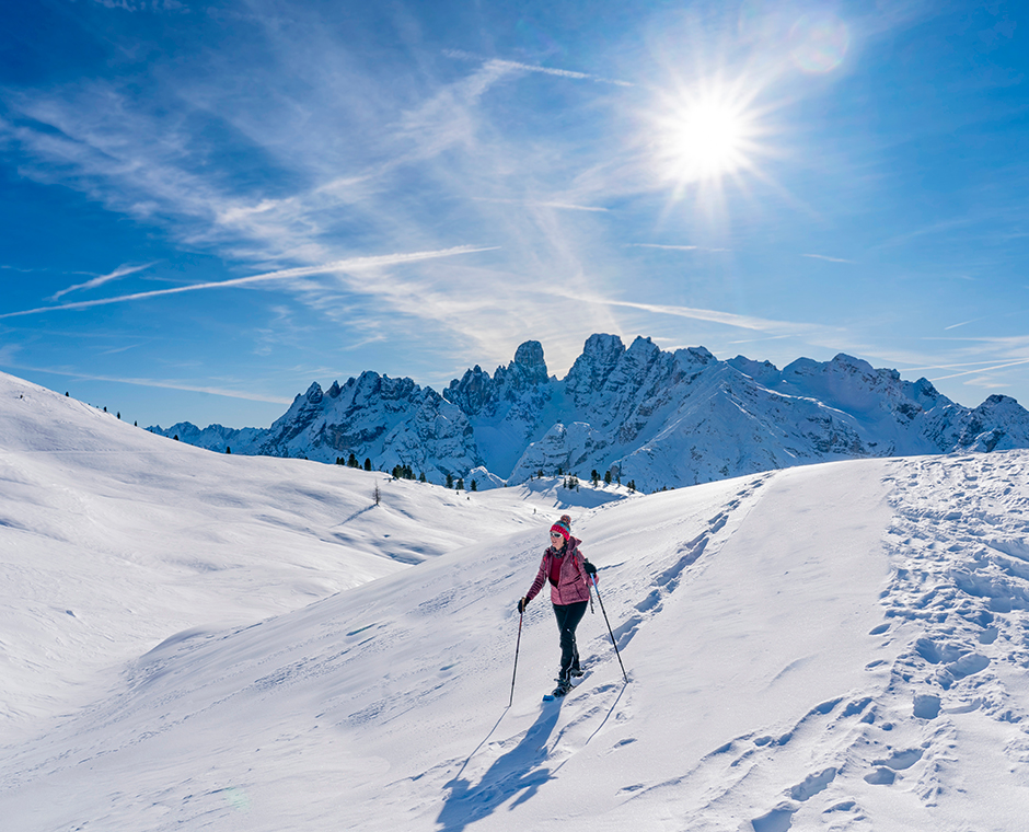
Snowshoeing with an Extra Gear: Intermediate Difficulty
The Solitary Beauty of Snowshoeing in Val Lagaun – Val Senales
- Length: 7 km
- Duration: 2:40 h
- Elevation gain: 290 m
- Difficulty: Intermediate
Learn more
We are in Val Senales, specifically in the silent Val di Lagaun, one of the least explored valleys by mass tourism, but capable of providing timeless emotions thanks to its pristine atmosphere.
The trail’s difficulty is classified as intermediate, mainly due to the overall length and some uphill sections that may be challenging for both children and those with little snowshoeing experience.
The walk starts with about 1 km of flat road, ideal for warming up before tackling the next 1.5 km ascent, where the trail narrows and will require walking in a single file. This part represents the most challenging section.
After this section, from the third kilometer onwards, the trail becomes gentler, alternating between flat sections and gentle ascents and descents. The atmosphere here transforms: the snow-covered forest envelops the trail and offers magical views, perfect for slowing down and enjoying nature.
After about 40 minutes (about 1 km), you reach the malga, where you can recharge with some typical dishes and warm up in a cozy environment.
For the return, you follow the same route, but this time it’s downhill, making the second part of the hike much easier and faster.
Snowshoeing Ring with a View of the Sciliar – Alpe di Siusi
- Length: 8 km
- Duration: 3 h
- Elevation gain: 325 m
- Difficulty: Intermediate
Learn more
A snowshoeing trail that provides unique emotions: snowshoes on your feet, the impressive peaks of the Sciliar in front of you, and vast snow-covered meadows all around leading to the refuge, where you can take a well-deserved break before closing the loop and returning to the starting point.
The starting point is set at 1,850 meters, in the Compaccio area (Alpe di Siusi), and the ascent is noticeable from the first few meters. Besides the Sciliar, views of the Ortles Group and the Adamello Massif open up, creating a natural spectacle that leaves you breathless.
After about 4 km of steady ascent, you reach the suggestive Panche delle Streghe, a rocky outcrop that resembles the shape of a chair and around which a fascinating legend circulates, related to medieval heretical cults and mysterious witch gatherings.
After a final uphill section of about 500 meters, you reach the highest point of the hike, at 2,173 meters. From here, the trail changes and begins a pleasant descent that leads to Rifugio Bullaccia, perfect for recharging with typical dishes before completing the route.
Snowshoeing from Predoi to Casere – Valle Aurina
- Length: 10 km
- Duration: 4 h
- Elevation gain: 690 m
- Difficulty: Intermediate
Learn more
This snowshoeing trail takes you to one of the most scenic corners of Valle Aurina, among snow-covered forests, vast white meadows, and a spectacular view of Vetta d’Italia, the northernmost mountain in Italy.
You start from the village of Predoi and immediately face a steady climb that continues for about 5 km, with an initial elevation gain of 240 meters distributed evenly.
Following the 15B trail, after about 3 hours of walking, you reach an altitude of 2,029 meters, near the malga, where you can choose to have a typical lunch (checking seasonal opening) or opt for a picnic stop.
From here, the trail continues downhill for about 2 km, offering breathtaking views of the small village of Casere, which gradually appears in the distance as you descend gently toward the valley floor.
Snowshoeing for Experts Only
There are routes dedicated exclusively to those with extensive experience and advanced skills in using snowshoes. These trails require knowledge of the terrain and appropriate technical abilities.
Snowshoes to the Summit of Monte Sommo – Val Pusteria
- Length: 4.30 km
- Duration: 4 h
- Elevation gain: 880 m
- Difficulty: Difficult
Learn more
This snowshoeing trail is reserved for true experts: a challenging route that tests endurance, technique, and attention, with exposed sections and steep slopes, in an environment that offers strong emotions and breathtaking views.
The departure is from Plata, near Falzes, following the trail no. 66. From the first few meters, you face a steady climb with significant elevation gain, reaching from the initial 1,600 meters to the summit of Monte Sommo at 2,394 meters.
The final section, the last 600 meters, includes a further ascent of about 200 meters, which can be especially tricky in case of ice.
Despite the effort and technical challenges, the route rewards you with spectacular views of ridges and snow-covered forests, reaching the summit where the view opens up to a grand panorama encompassing the most iconic peaks of Val Pusteria and the surrounding Dolomites.
From San Candido to Sesto, Between Hut and Chapel – Val Pusteria
- Length: 14 km
- Duration: 4:30 h
- Elevation gain: 635 m
- Difficulty: Difficult
Learn more
This snowshoeing trail is for true enthusiasts, immersed in the peace of the forests between San Candido and Sesto, along a trail that offers fascinating views, history, and authentic flavors. Highlights of the route include the picturesque Cappella del Bosco and the warm hospitality of the Baita del Cacciatore, where a tasty stop is a must.
You start from San Candido, following the signpost no. 4. The first 8 km are uphill, but after the fifth kilometer, you come across the charming Cappella del Bosco: a small wooden chapel dating back to the early 20th century, which offered comfort and refuge to local residents during wartime.
After another 2.5 km, you reach the Baita del Cacciatore at an altitude of 1,817 meters, the highest point of the route and an ideal place for a regenerating break with local dishes.
After recharging, the return begins along the same trail to the Chapel, and from there, towards Sesto, with the last 4 km in pleasant descent, perfect for regaining energy and concluding this challenging but fascinating adventure among the peaks of Val Pusteria.